
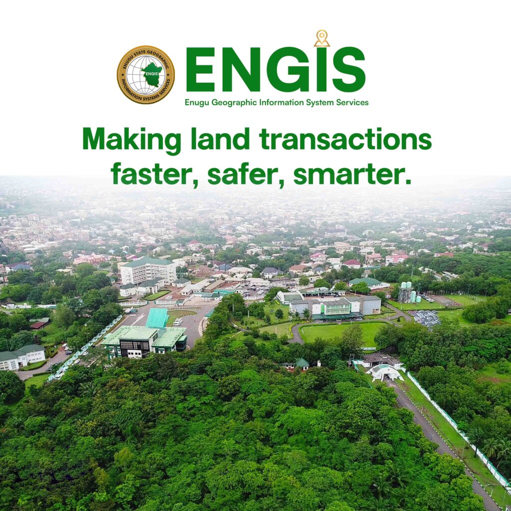
Ensuring Secure & Transparent Land Ownership
At Enugu State Geographic Information System Service, we are committed to revolutionizing real estate security and land ownership transparency in Enugu State.
Why ENGIS Matters
ENGIS exists to change that narrative in Enugu State by leveraging technology to bring transparency, order, and trust to land ownership.
The Enugu State Geographical Information System (ENGIS) is a state-led initiative dedicated to transforming land administration and spatial data management in Enugu State, Nigeria. As a technology-driven platform, ENGIS is revolutionizing how individuals, investors, and the government interact with land and property information — ensuring accuracy, security, and transparency across all real estate transactions.
Land Applications
Fresh Application
Secures land rights, prevents fraudulent claims, and guarantees authenticity in property ownership.
Recertification
Validates ownership records and ensures compliance with land administration standards.
Regularization
Strengthens tenure security by transforming unregistered plots into recognized assets
Verification
Validates land titles, ensuring authentic ownership and preventing fraudulent claims.
Services
Survey Services
Delivers precise surveys and maps to define boundaries and support land administration.
Search Report
Provides verified land information, ensuring accuracy, transparency, and fraud prevention
Pay A Bill
Enables secure, seamless payments for land services, reducing delays and ensuring compliance.
Forms & Resources
Provides instant access to official land forms, guides, and support materials.

About us
The Challenge of Land Fraud
ENGIS is a digital geospatial platform established by the Government of Enugu State to modernize land administration, support urban planning, and drive sustainable development through reliable, data-driven solutions.
- Government Collaboration & Legal Backing
- Secure Property Transfer & Ownership Authentication
- Fraud Prevention & Dispute Resolution
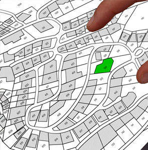
Advanced Geospatial Mapping & GPS Technology
Ensures precise boundary demarcations, reducing land disputes and encroachments.
AI-Powered Land Analysis & Predictive Insights
Helps policymakers, investors, and real estate developers make data-driven decisions.
Customer Focus
Prioritizing client satisfaction with personalized, attentive service.
Why Us
How ENGIS is Positioned to Solve This Problem
A Secure Digital Land Registry
ENGIS eliminates the risks associated with manual record-keeping and manipulation by maintaining an up-to-date digital record of all land ownerships. Every piece of land is properly documented and accessible through a secure platform.
Customized Solutions
Prospective land buyers, investors, and real estate developers can verify land ownership and authenticity through ENGIS before completing any transaction, preventing fraud and ensuring secure investments
Legal Backing and Government Partnership
ENGIS works in collaboration with the Enugu State Government to ensure that all land dealings align with regulatory policies, making the system the most trusted verification tool for real estate in the state.

We exist to restore trust


Testimonials
Honest Reviews from our Customers

Emeka Nwosu
Emeka Nwosu, Real Estate Developer
“I was on the verge of purchasing a piece of land when a friend advised me to verify it through ENGIS. To my surprise, the system flagged the land as already allocated to someone else! ENGIS saved me from a potential scam and a huge financial loss. Their platform is easy to use, and the transparency they provide is unmatched. Every land buyer in Enugu needs this service!”

Chukwuma Okeke
Chukwuma Okeke, Landowner
“I almost lost my hard-earned money to a fake land seller, but ENGIS saved me. Their verification system instantly showed me that the land I was about to buy was already owned by someone else. I highly recommend ENGIS to anyone buying land in Enugu.””I almost lost my hard-earned money to a fake land seller, but ENGIS saved me. Their verification system instantly showed me that the land I was about to buy was already owned by someone else. I highly recommend ENGIS to anyone buying land in Enugu.
The Future of Land Security in Enugu State
Contact us today to schedule a consultation or to learn more about our services.