About Us


Who We Are
The Enugu State Geographic Information Systems (ENGIS) is a center of excellence dedicated to providing comprehensive Spatial Data Integration and Computerization Services for the entire state. As a pivotal driver of Enugu State’s digital transformation, ENGIS plays a critical role in the modernization and automation of land administration processes.
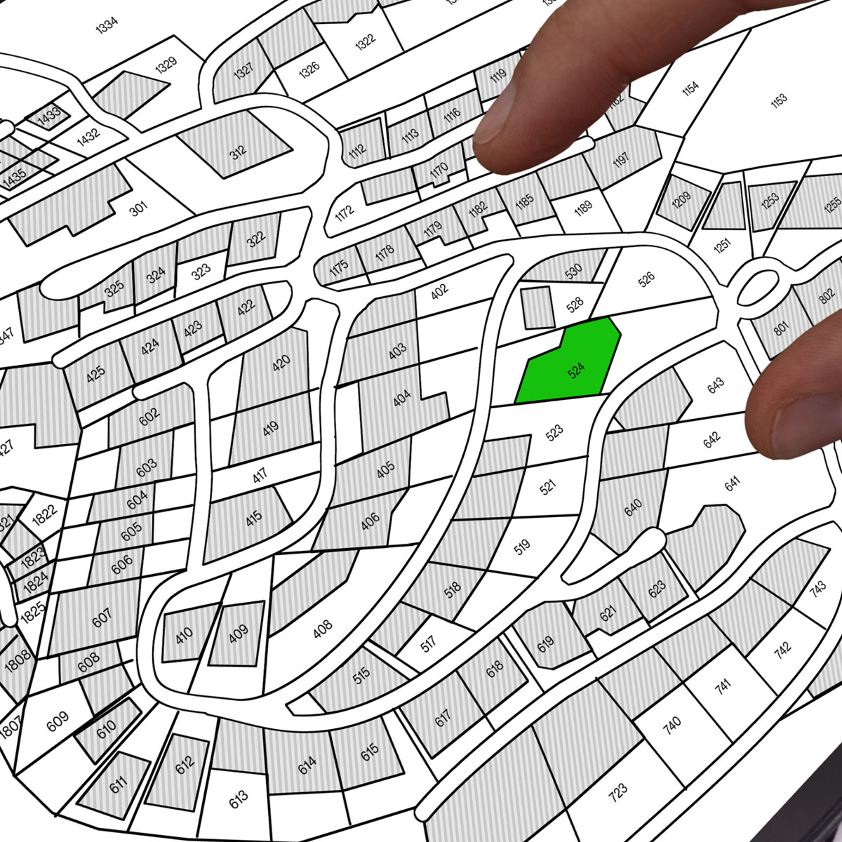
At the heart of its mission, ENGIS leverages advanced geospatial technology to streamline and enhance the efficiency of land-related services. This includes managing the entire process of land title production, from application to issuance, ensuring transparency, speed, and accuracy. By adopting state-of-the-art digital tools, ENGIS aims to simplify access to land information, promote data-driven decision-making, and support sustainable urban development across Enugu State.
Through its commitment to data integrity, accessibility, and operational efficiency, ENGIS provides stakeholders — including government agencies, businesses, and the general public — with reliable geospatial data and support services. This approach enhances land administration, facilitates planning and development, and drives overall economic growth in the state.
With ENGIS, Enugu State continues to lead the way in digital land governance, ensuring that land records are secure, accessible, and managed with precision.
Mission & Vision
Mission: Uphold accurate and efficient registration of land titles, provide reliable geospatial information, and facilitate sustainable geospatial data management and development in the state.
Vision: To provide a geospatial centre of excellence in land administration and geospatial data management

Departments
- Office of Managing Director: The unit also serves as the Secretariat for the Land Use and Allocation Committee.
- System Development: The unit manages system administration, installation, implementation, configuration, application development, and maintenance of operating systems at an enterprise level with ENGIS tools. It comprises the Systems Administration unit, System Development & Security unit, and Document Management System (DMS) & Records unit.
- Survey and Mapping: The survey unit manages surveying and data capturing for ENGIS. The unit is responsible for providing all survey data and maps for ENGIS.
- Land Administration: The unit is responsible for providing an effective and efficient land administration and policy framework. It implements government policies and programs affecting land in the state, processes applications for allocation, prepares and issues Rights of Occupancy, prepares and issues Certificates of Occupancy, registers and manages land titles and documents, and generates revenues from premiums and other land charges.
- Legal: This unit formulates laws and guidelines for ENGIS operations. Its primary function is to render legal advice to guide ENGIS activities. Other functions include litigation, drafting legal documents (contractual and legislative), and handling petitions and complaints with legal implications.
- Finance & Administration: This unit oversees revenue collections/generation, bank/account reconciliation, and budget management. It is also responsible for general administration, staff welfare, facilities maintenance, transportation, stores, and establishment & training matters.
- Audit Unit: The Audit Unit handles internal control systems and reports directly to ENGIS management. It ensures that all revenue due to the Agency is collected and promptly remitted. The unit regularly tests staff payroll controls and reviews them for better efficiency. It also checks payments for works, goods, and services.
- URP: This unit oversees planning functions and development plans for the state. Its functions include formulating and implementing urban and regional development policies, preparing general land use plans, preparing detailed site development plans and preliminary engineering designs, monitoring master plans concerning land use, revising urban development standards, processing and evaluating development applications, processing land use change applications, and implementing regional development plans.
- Geographic Information Systems (GIS): This unit comprises GIS Production, GIS Analysis, and the ENGIS Documents Management System (DMS).
- Information & Customer Services: This unit handles media, publications, press relations, customer inquiries, and general services.

